Snow fell on Christmas Day in Australia and rain put out half the busfires, Warnie's hanging up his shin pads (though probably not his texting thumbs) and if I never see ham again it'll be too soon.
Ta very much for all the nice Christmas wishes. How was your Chrissy?
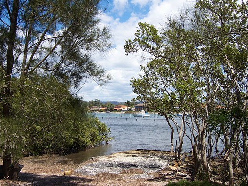
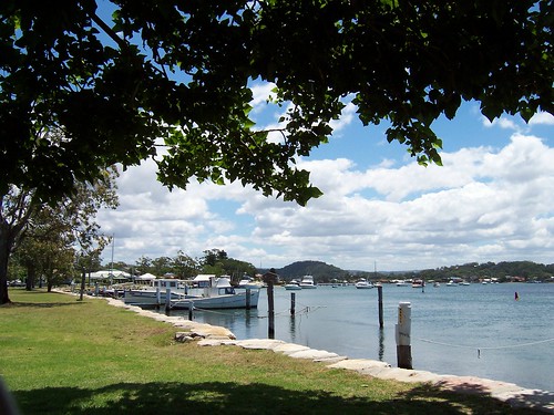
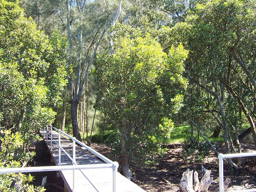
Illoura Reserve
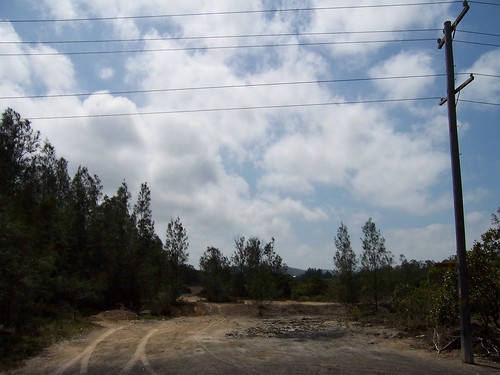
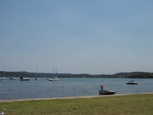
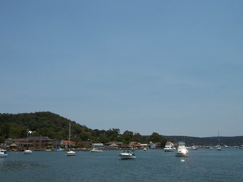
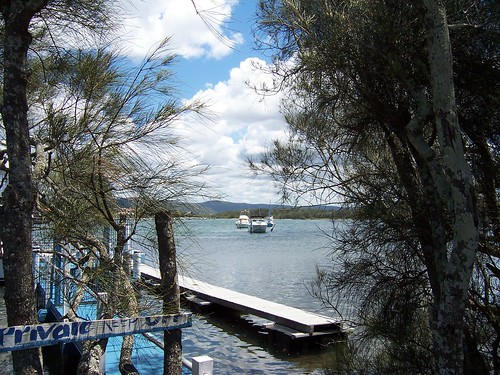
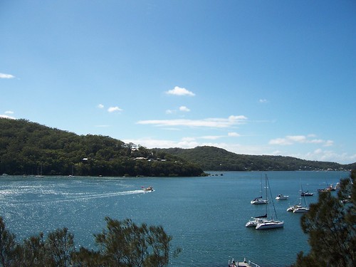
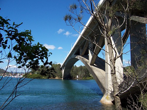
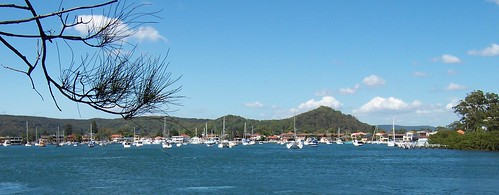
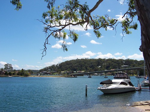
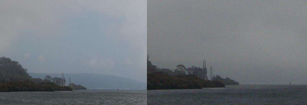
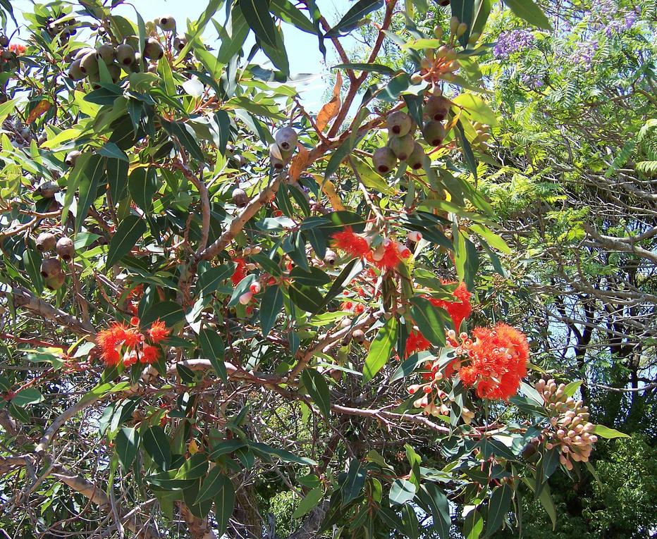
Had a nice gentle walk this morning. Got the ferry over to Lintern Street Wharf and did the Illoura Walk along the foreshore round the horn of Davistown to Central Wharf then came back again on the ferry. Very pleasant. Birds chirped and twittered, tourists wandered to and fro and asked each other what that island out there was called, dogs bounded and splashed at the water's edge and sniffed each other's bums. The sun was a bit warm but nothing like the fucking sauna it was this time last year.
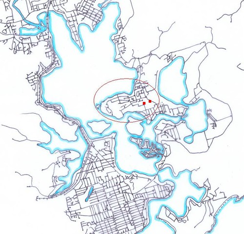
Get the ferry from Woy Woy Wharf to Lintern Channel between Rileys Island and the Saratoga-Davistown peninsula, get off at Lintern Street Wharf. There's a foreshore park on your right. That's the start of walk. (Map of walk)
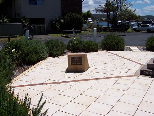
The thingy reads:
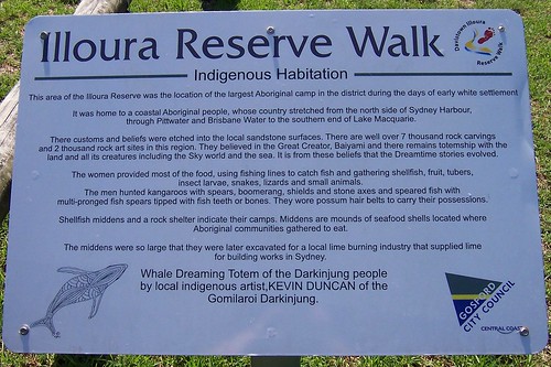
"This area if the Illoura Reserve was the location of the largest Aboriginal camp in the district during the days of early white settlement.
It was home to a coastal Aboriginal people, whose country stretched from the north side of Sydney Harbour,
through Pittwater and Brisbane Water to the southern end of Lake Macquarie.
There customs and beliefs were etched into the local sandstone surfaces. There are well over 7 thousand rock carvings
and 2 thousand rock art sites in this region. They believed in the Great Creator, Baiyami and there remains totemship with the
land and all its creatures including the Sky world and the sea. It is from these beliefs that the Dreamtime stories evolved.
The women provided most of the food, using lines to catch fish and gathering shellfish, fruit, tubers, insect larvae, snakes, lizards and small animals.
The men hunted kangaroos with spears, boomerang, shields and stone axes and speared fish with
multi-pronged fish spears tipped with fish teeth or bones. They wore possum hair belts to carry their possession.
Shellfish middens were so large that they were later excavated for a local lime burning industry that supplied lime for building works in Sydney.
Whale Dreaming Totem of the Darkinjung people
by local indigenous artist,KEVIN DUNCAN of the
Gomilaroi Darkinjung."
"Shellfish middens ... were later excavated for a local lime burning industry". Bet that made archeologists scream with rage when they found out.
The Darkinjung link says there's only about 320 words of the Darkinjung/Central Coast language left. Haven't yet done enough reseach to identify them in their original forms. Some local placenames are of Aboriginal origin but suffered in translation when originally recorded by whitefellas. They often don't sound right or recognisable in the original language.
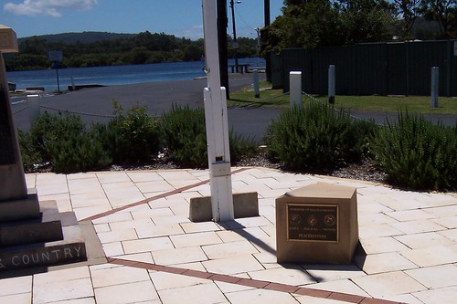
The thingy reads:
"Illoura Reserve Walk
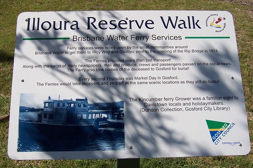
Brisbane Water Ferry Services
Ferry services were relied upon by the small communities around
Brisbane Water to get them to Woy Woy and Gosford prior to the opening of the Rip Bridge in 1974.
The Ferries provided more than just transport!
Along with the cargo of daily newspapers, mail and produce, crews and passengers passed on the social news.
The Ferry also took bodies of the deceased to Gosford for burial!
Every second Thursday was Market Day in Gosford.
The Ferries would take shoppers and stop off at the same scenic locations as they still do today!
The Kincumber ferry Grower was a familiar sight to
Davistown locals and holidaymakers.
(Dundon Collection, Gosford City Library)"
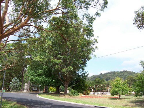
Those "same scenic locations" are Veterans Hall at Henderson Road Saratoga, just round the corner from the old cemetery, Lintern Street Davistown, Central Wharf at the end of Davistown Road Davistown, Pine Avenue just a few hundred yards along from Central Wharf and Empire Bay.
The thingy reads:
"Illoura Reserve Walk
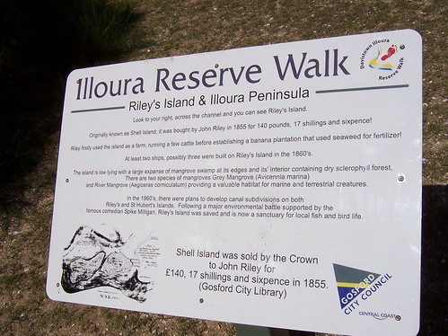
Riley's Island & Illoura Peninsula
Look to your right, across the channel and you can see Riley's Island.
Originally known as Shell Island, it was bought by John Riley in 1855 for 140 pounds, 17 shillings and sixpence!
Riley first used the island as a farm, running a few cattle before establishing a banana plantation that used seaweed for fertilizer!
At least two ships, possibly three were built on Riley's Island in the 1860s.
The island is low lying with a large expanse of mangrove swamp at its edges and its' interior containing dry sclerophyll forest,
There are two species of mangrove Grey Mangrove (Avicennia marina)
and River Mangrove (Aegiceras corniculatum) providing a valuable habitat for marine and terrestrial creatures.
In the 1960's, there were plans to develop canal divisions on both
Riley's and St Hubert's Islands. Following a major environmental battle supported by the
famous comedian Spike Milligan, Riley's Island was saved and is now a santuary for local fish and bird life.
Shell Island was sold by the Crown
to John Riley for £140, 17 shillings and sixpence in 1855
(Gosford City Library)"
Extraneous punctuation is theirs not mine. I go in more for typos.
In the drawing Rileys is the island on the right. The left one is St Huberts. "Illoura Peninsula" presumably refers to the Saratoga-Davistown peninsula.
The thingy reads:
"Illoura Reserve Walk
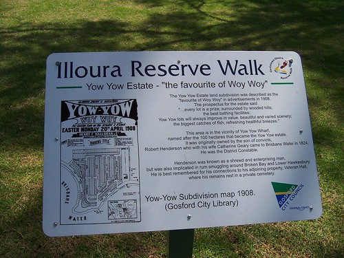
Yow Yow Estate - "the favourite of Woy Woy"
The Yow Yow Estate land subdivision was described as the
"favourite of Woy Woy" in advertisements in 1908.
The prospectus for the estate said
"...every lot is a prize; surrounded by wooded hills;
the best bathing facilities;
Yow Yow will always improve in value, beautiful and varied scenery;
the biggest catches of fish; refreshing helathful breezes."
This are is in the vicinty of Yow Yow Wharf,
named after the 100 hectares that became the Yow Yow estate.
It was originally owned by the son of convicts,
Robert Henderson who with his wife Catherine Geary came to Brisbane Water in 1824.
He was the District Constable.
Henderson was known as a shrewd and enterprising man,
but was also implicated in rum smuggling around Broken Bay and Lower Hawkesbury.
He is best remembered for his connections to his ajoining porperty, Veteran Hall,
where his remains rest in a private cemetery.
Yow-Yow Subdivision map 1908.
(Gosford City Library)"
The waterfront on that map on the thingy shows most of the Illoura Walk. The Yow Yow estate is the area now bounded by Pyang and Emora Avenues in the north, Restella Avenue in the east, Paringa Avenue/Illoura Reserve in the south-east and Lenora Avenue, Malinya Road and Illoura Reserve in the west.
The Dear Old Things sometimes ask for "Yow Yow Wharf thank you young man" on the ferry. The young fella looks bewildered and says do they want the Davo.
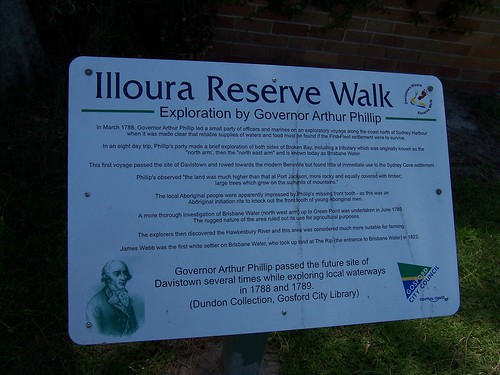
The thingy reads:
"Illoura Reserve Walk
Exploration by Governor Arthur Phillip
In March 1788, Governor Arthur Phillip lead a small party of officers and marines on an exploratory voyage along the coast north of Sydney Harbour
when it was made clear that reliable supplies of waters and food must be found if the First Fleet settlement were to survive.
In an eight day trip, Phillip's party made a brief exploration of both sides of Broken Bay, including a tributary which was originally known as the
"north arm", then the "north east arm" and is known today as Brisbane Water.
This first voyage passed the site of Davistown and rowed towards the modern Bensville but found little of immediate use to the Sydney Cove settlement.
Phillip's observed "the land was much higher than that at Port Jackson, more rocky and equally covered with timber;
large trees which grow on the summits of mountains."
The local Aboriginal people were apparently impressed by Phillip's missing front tooth - as this was an
Aboriginal initiation rite to knock out the front tooth of young Aboriginal men.
A more thorough investigation of Brisbane Water (north west arm) up to Green Point was undertaken in June 1789.
The rugged nature of the area ruled out its use for agricultural purposes.
The explorers then discovered the Hawkesbury River and this area was considered much more suitable for farming.
James Webb was the first white settler on Brisbane Water, who took up land at The Rip (the entrance to Brisbane Water) in 1823.
Governor Arthur Phillip passed the future site of
Davistown several times while exploring local waterways
in 1788 and 1789.
(Dundon Collection, Gosford City Library)"
Map of Broken Bay/Brisbane Water
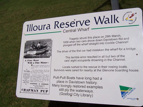
The thingy reads:
"Illoura Reserve Walk
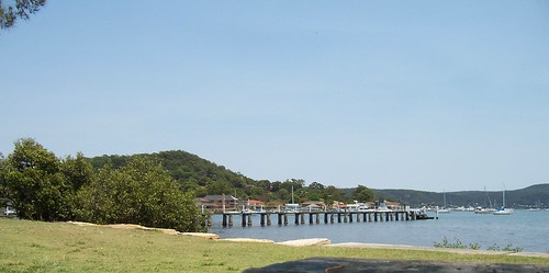
Central Wharf
Tragedy struck this place on 29th March,
1936 when two cars drove down Davistown Rd and
plunged off the wharf straight into Cockle Channel!
The driver of the first car had mistaken the wharf for a bridge.
This terrible error resulted in all but two of the
cars' eight occupants drowning in the Channel.
Locals rushed to the rescue in their rowing boats.
Survivors were cared for nearby at the Glenorie boarding house.
Putt-Putt Boasts have long had a
place in Davistown history.
Many lovingly restored examples
still ply the waterways.
(Gosford City Library)"
Cockle Channel runs between Davistown and mpire Bay not, as I've previously asserted, between Davistown and Kincumber South.

The thingy reads:
"Illoura Reserve Walk
Origins of Brisbane Water Shipbuilding
James Marks, one of the first settlers of the area named his 60-acre grant which lies to east of Davistown Road "Burramun".
It was purchased by shipwright Benjamin Davis in 1851, who later sold portions of his land to his brothers Thomas, Rock and Edward.
The area was home to the Davis families resulting in the place being known by locals firstly jokingly and now officially as Davistown.
Benjamin also lent his name to the adjoining area, now known as Bensville!
Between 1869 and 1879, Ben built an estimated 34 vessels at Davistown and a further 15 at Bensville.
Rock built 8 vessels at Davistown between 1854 and 1862.
He later moved to Blackwall (near Woy Woy) where he built at least
160 vessels between 1863 and 1904.
Other local shipbuilders include Alfred W.R.M. Settree
who built 7 vessels at Davistown, including day Dawn,
Edith Keep and Dewdrop, between 1869 and 1879 and Giles Jenkins built
10 vessels, mostly ketches between 1876 and 1889.
The ketch Day Dawn was built at
Davistown by A.W.M. Settree in 1869.
(Dundon Collection, Gosford City Library)
For locations see map of the area.
It's taken me half the bloody day to bung that lot up. My brain's on holiday.


